🔬
🔬 Science
Satellites and AI Create High-Resolution Maps of Europe's Wetlands
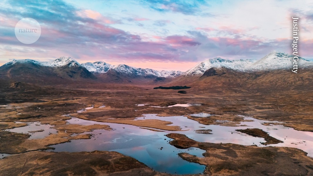
A machine-learning algorithm has analysed satellite images to produce high-resolution maps of European wetland environments, revealing previously overlooked ecosystem patches. The study was published in Nature on 20 July 2026. The detailed maps are expected to be a significant asset for conservation efforts across the continent.
Comments
No comments yet
Comments
No comments yet — be the first to weigh in 👇
No comments yet. Be the first!